Open
 Applications are now open for the Academic Session 2026-27.

Gain hands-on mapping and engineering skills with the 12-month Diploma In Land Surveyor at MDESDS. Learn hybrid modules, CAD, and practical field surveying.
Every major construction project, from sprawling highways and high-rise buildings to massive irrigation dams, begins with a blank slate. Or rather, it begins with raw land that needs to be measured, mapped, and understood. This is where the crucial role of a professional land surveyor comes into play. If you have an eye for precision, enjoy a balance of outdoor fieldwork and advanced technical design, and want a stable, high-demand career, the Diploma In Land Surveyor program offered by MDESDS is your ideal gateway.
Modern infrastructure development is moving at an unprecedented pace. Cities are expanding, transportation networks are being rewritten, and accurate geographic data has become the backbone of smart city planning. Without precise boundary lines and topographic maps, engineering designs would collapse, legal disputes over land ownership would skyrocket, and resource allocation would fail.
Our comprehensive course bridges the gap between traditional measurement techniques and contemporary digital mapping technologies. By joining this program, you step into a professional field that blends engineering, mathematics, geography, and cutting-edge law.
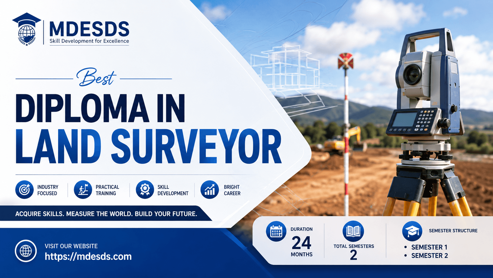
A Diploma In Land Surveyor is a specialized technical program designed to train individuals in the science of determining the exact three-dimensional positions of points, distances, and angles on the Earth's surface. Land surveyors establish official maps, determine property boundaries, and provide vital data for civil engineering, construction, and real estate development.
At MDESDS, this structured program transforms passionate learners into industry-ready survey professionals. Over a comprehensive course duration of 12 months, students delve into both foundational and modern techniques. To accommodate working professionals and students seeking flexibility, MDESDS offers this program through a flexible hybrid learning mode. This means you can balance theory-based digital learning with rigorous, mandatory hands-on field training.
Throughout this 12-month curriculum, you will transition from understanding simple physical measuring tools to mastering complex computer-aided design (CAD) programs. This dual approach ensures that our graduates are highly competent out in the field and equally capable inside a modern engineering office.
The Diploma In Land Surveyor program at MDESDS is meticulously structured to ensure a progressive learning curve. The curriculum is split directly into core academic blocks and immersive field training, focusing intensely on practical application.
The first phase of the 12-month program focuses heavily on establishing a rock-solid foundation in both classical and modern surveying methodologies. Below is the detailed breakdown of the subjects you will master during this semester, highlighting the skills you will gain and their direct practical benefits in the real world.
Subject Overview: This is the bedrock of distance measurement. Students learn the principles of linear measurements using surveying chains, tapes, arrows, and ranging rods. It focuses on setting out right angles, overcoming obstacles in chaining, and recording data accurately in a field book.
Practical Benefits: While advanced electronic tools exist, chain surveying teaches you the foundational geometry of land. It allows you to conduct quick, cost-effective measurements on smaller plots without relying on battery-operated machinery or GPS signals.
Skills Gained: Mastery of linear distance measurement, field book recording, error adjustment, and triangulation techniques.
Subject Overview: An essential graphical method of surveying where observations and plotting are done simultaneously in the field. Students learn to use the plane table, alidade, plumbing fork, and spirit level to map out terrain features.
Practical Benefits: This method eliminates the risk of missing field details because the map is drawn directly on-site. It is highly beneficial for rapid topographic mapping and filling in local details on existing frameworks.
Skills Gained: Graphical plotting, on-site visual mapping, resection and intersection techniques, and spatial visualization.
Subject Overview: This subject teaches students how to measure vertical distances and establish relative heights of points above or below a specific reference line (datum). Students get hands-on experience with dumpy levels, auto-levels, and leveling staffs.
Practical Benefits: Levelling is critical for ensuring that roads drain water correctly, pipelines flow in the right direction, and building foundations are perfectly horizontal. No structural construction can happen safely without precise leveling.
Skills Gained: Height of instrument methods, rise and fall methods, contouring, profile leveling, and vertical alignment configuration.
Subject Overview: Here, the program bridges physical fieldwork with digital design and management. Students learn Computer-Aided Design (CAD) software to digitize field data. Additionally, this module covers estimation principles (calculating material volumes and project costs) and irrigation surveying (mapping water channels, canal alignments, and catchments).
Practical Benefits: Raw field notes are useless to a client until they are transformed into a clean, digital CAD drawing. Furthermore, knowing how to estimate project costs and design water-flow pathways makes you an invaluable asset to civil engineering firms and government agricultural departments.
Skills Gained: 2D digital drafting, volumetric calculations for earthwork, cost estimation modeling, and hydraulic alignment mapping.
Subject Overview: The ultimate culmination of the hybrid learning mode. This intensive, face-to-face field module requires students to set up equipment in real outdoor environments, navigate unpredictable weather, deal with uneven terrain, and solve actual measurement challenges.
Practical Benefits: Employers do not just hire people who know theory; they hire professionals who can handle expensive equipment carefully and accurately on a real construction site. This practical training ensures you can step onto any job site on day one with complete confidence.
Skills Gained: Equipment calibration, teamwork and field communication, real-time problem solving, and precise data verification.
The Diploma In Land Surveyor program is built for individuals who want a career that is anything but routine. It is an ideal fit for:
High School Graduates (10+2): Students looking for a fast-track, highly stable technical career path instead of spending years on generic theoretical degrees.
Aspiring Civil Engineers and Architects: Professionals who want to expand their practical skill set, making themselves significantly more employable.
Construction Field Supervisors: Individuals currently working in real estate or building projects who want an official qualification to move into higher-paying survey roles.
Career Switchers: Anyone looking to break into the booming infrastructure, real estate, and government mapping sectors.
Enrolling in the 12-month hybrid Diploma In Land Surveyor course offers distinct advantages for your professional future:
Fast Employment Turnaround: With a course duration of just 12 months, you can transition from an untrained student to a qualified, certified technical professional in exactly one year.
The Power of Hybrid Learning Mode: You do not have to put your life or current job completely on hold. The flexible hybrid model gives you the freedom to master theoretical digital modules at your own pace while dedicating focused time to intensive field practicals.
High Market Demand: Every country, city, and local municipality is investing heavily in infrastructure. The need for precise land data means qualified land surveyors enjoy incredible job security.
Perfect Balance of Mind and Body: If you dislike the idea of sitting in a tiny office cubicle for 9 hours a day, surveying offers a refreshing mix of active outdoor mapping and creative indoor digital design.
Upon completing your Diploma In Land Surveyor from MDESDS, you unlock a diverse world of employment options across both public and private sectors.
Graduates can step confidently into roles such as:
Land Surveyor / Field Surveyor: Conducting boundary, topographic, and hydrographic surveys for construction and land development companies.
CAD Operator / Draftsman: Taking raw field metrics and transforming them into professional architectural layouts and engineering blueprints.
Cadastral Surveyor: Working closely with legal systems to establish official property ownership lines, clear up land disputes, and update government land registries.
Highway & Railway Survey Specialist: Mapping out long-distance routes, ensuring correct curve radius calculations, and monitoring structural grading.
Estimator / Quantity Surveyor Analyst: Helping contractors figure out exactly how much soil needs to be excavated, how much concrete is required, and what the baseline project cost will be.
As technology advances, land surveying is evolving rapidly. Surveyors who understand traditional methods alongside CAD and digital leveling are well-positioned to pick up training in drone mapping, 3D laser scanning, and Geographic Information Systems (GIS). This foundation ensures that your career path remains future-proof for decades to come.
Selecting the right institute shapes your entire educational experience and your subsequent career trajectory. MDESDS stands out as a premier educational choice because of our commitment to excellence, student-centric design, and real-world results.
Expert Faculty Guidance: Our instructors aren't just reading out of old textbooks. They are experienced industry practitioners who have spent years navigating real field conditions and complex engineering projects.
State-of-the-Art Surveying Equipment: We believe in training our students on the exact tools currently used by modern engineering firms. You will get hands-on familiarity with professional levels, modern chains, and advanced drafting software.
Balanced Industry Curriculum: Our course balances historical surveying principles with modern computational toolsets, turning you into a highly versatile professional.
Dedicated Career Support: MDESDS is deeply invested in your long-term success. We assist our graduates with job placement preparation, portfolio building, and interview readiness to ensure a smooth transition into the professional world.
Do not leave your professional future to chance. Step into a highly respected, high-demand industry that forms the baseline of global infrastructure development. Get the practical training, certified credentials, and confidence you need to excel.
The Diploma In Land Surveyor course is designed to provide practical knowledge, professional skills, and industry-relevant training. With a duration of 12, this program helps students develop the expertise required for academic and professional success.

Kickstart your farming and agribusiness career with the 12-month hybrid Diploma In Agriculture from MDESDS. Gain vital s...

Accelerate your career with our 12-month Advance Diploma In Business Management at MDESDS. Gain real-world leadership sk...

Launch your hospitality career with MDESDS's 12-month Diploma in Food & Beverage Service. Gain hands-on skills through h...